Fallas 2026 map of Valencia: where each monument is and why there is no single official map
Three different Fallas 2026 maps measure three different things, with three monument counts that don't match. Here is which one to use depending on what you are looking for, and the neighbourhoods where the Sección Especial fallas stand.

Searching for a Fallas 2026 map of Valencia leads to three different products that measure different things: an official map built for volume, an editorially curated map and a scattering of maps from individual commissions. None of them is the only one you need; it depends on what you are looking for.
Which map should you use, depending on what you want?
| Map | What it shows | Useful for |
|---|---|---|
| Visit Valencia, official map | 800 monuments at 400 locations | seeing the full volume, neighbourhood by neighbourhood |
| Valencia Plaza, street-by-street map | More than 300 monuments, an editorial selection | not missing the most talked-about fallas without covering all 800 |
| Distrito Fallas, fallas map | interactive map by commission | finding one particular commission |
| fallasmap.com | collaborative map | a quick check on your phone in the street |
The monument counts don't contradict each other as much as they seem to: they measure different scopes. The city council speaks of around 700 monuments and elDiario.es of around 750, as set out on the Fallas in Valencia 2026 page; Visit Valencia goes up to 800 by also counting smaller installations.
Valencia Plaza, for its part, picks just over 300 monuments for its curated map. No source explains its counting method, so all four figures are laid out in how many fallas there are in Valencia rather than us choosing one.
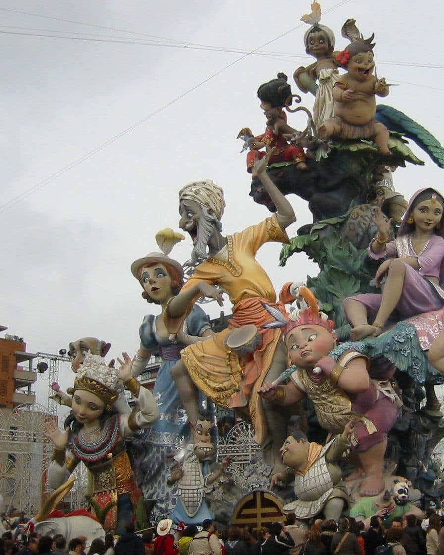
Photo: Alberto Ceballos, CC BY-SA 2.0, via Wikimedia Commons
Where are the Sección Especial fallas?
They are the largest and the most searched-for on the maps, and they are spread across the city, not concentrated in the historic centre. You can go inside the fenced area from 16 to 19 March.
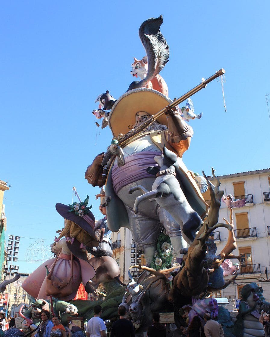
Photo: user:falconaumanni, CC BY 3.0, via Wikimedia Commons
- Convento Jerusalén, next to the Estación del Norte.
- Na Jordana, in the El Carmen district.
- Exposición, near the Mestalla stadium.
- Nou Campanar and L'Antiga de Campanar, in Campanar.
- The municipal falla, in Plaza del Ayuntamiento.
Covering four or five of these on foot from the centre takes 30 to 50 minutes' walking per leg, plus the queues to get in on the busiest days. The full map of the old town and the real distances between neighbourhoods are on the map of Valencia.
The 800-monument map doesn't tell you which ones are worth the trip: a guided route through the Sección Especial fallas covers in a few hours what an unfiltered map can take a whole day to do. Compare the available routes before planning your own.
See routes and guided tours in Valencia →Affiliate link: booking through it supports the site at no extra cost to you.What does no map show?
None of the sources consulted publishes a map that combines location, monument category and the streets closed to traffic on a given day. You can walk up to a falla and find the street shut for a neighbourhood mascletà, something the map doesn't warn you about.
Nor is there a single, centralised printed version: paper maps are handed out by tourist offices, and each commission prints its own. To get from one neighbourhood to another without a car, the getting around Valencia guide has the special metro and bus timetables for Fallas.
The neighbourhood you stay in decides how many fallas you can see on foot without public transport: Ruzafa and El Carmen are packed with commissions and are a short walk from Convento Jerusalén and Na Jordana. Compare accommodation near those neighbourhoods for the Fallas dates.
See accommodation for the Fallas →Affiliate link: booking through it supports the site at no extra cost to you.Sources
Visit Valencia, official 2026 fallas map and monument route. Valencia Plaza, street-by-street map of the 2026 Fallas. Distrito Fallas, fallas map. Valencia Bonita, fallas maps 2024, 2025 and 2026. fallasmap.com. La Sexta, February 2026, for the location of the monuments.
Frequently asked questions
How many monuments are on the official 2026 Fallas map?
Is there a paper map of the Fallas?
Where are the Sección Especial fallas?
Can you rely on a single map to see everything?
Neus Ferrer
Neus has belonged to a falla commission since the age of eight and has seen twenty monuments go up. She knows which streets are closed from the day before and at what time the mascletà can no longer be heard from the centre. She does not recommend a spot where she has not stood for hours.