Valencia map: neighbourhoods, the Turia and real distances
How the city is laid out, how long it really takes between the places that matter, and why half of Valencia is advertised as "central" without being so. With a count of public facilities nobody else publishes.
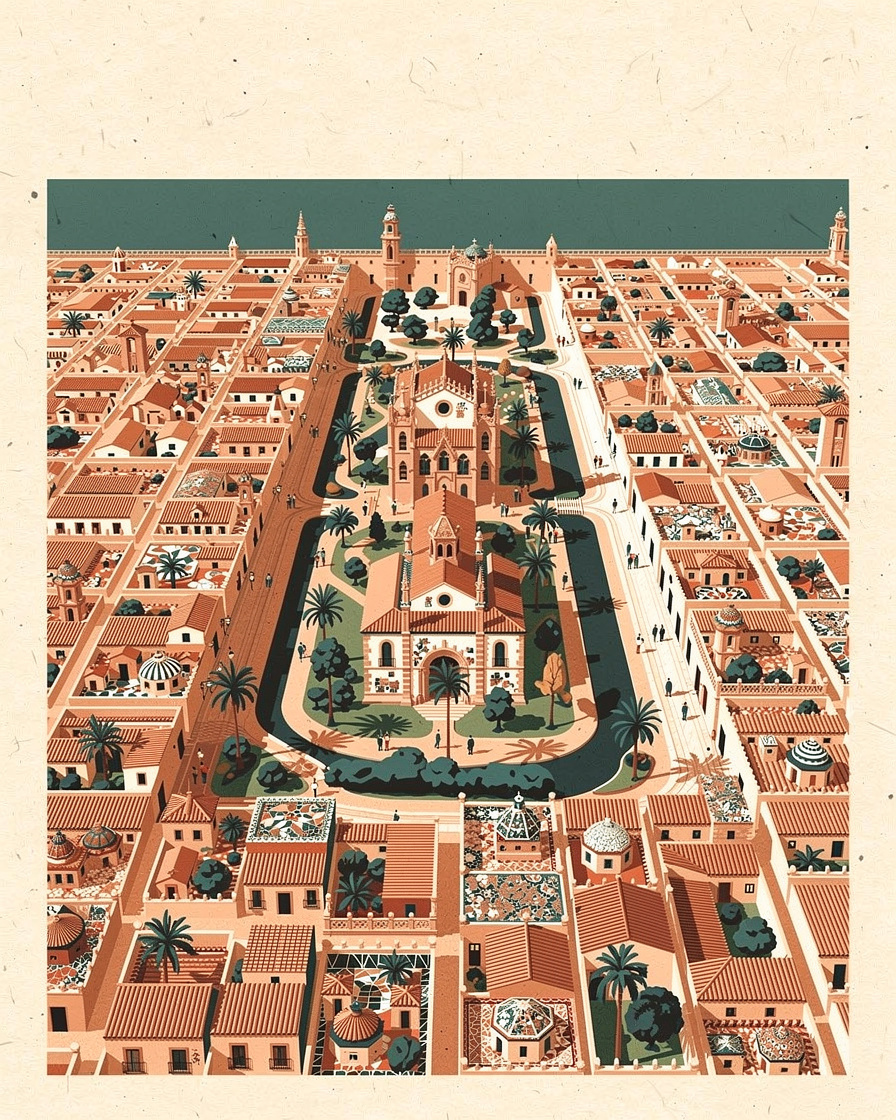
Valencia is hard to grasp from a metro map and easy to grasp from a shape: a compact old core, a grid of 19th century streets around it, and a green arc crossing the city where the river used to run.
That arc, the Turia gardens, is the key to almost everything. It guides your walks, separates the centre from the northern districts and ends at the City of Arts and Sciences. Once you have it clear, you stop getting lost on day one.
The map below is interactive. Tap a number to see the name of the place, then Go for directions.
The five pieces that make up the city
There is no official map that divides the neighbourhoods by use, whether for tourism or for transport. This reading comes from cross-checking our research files, and it is the one that works for someone arriving for three days.
- Ciutat Vella: El Carmen, La Seu and La Xerea. The cathedral, the Lonja silk exchange, the old gate towers, and Plaza del Ayuntamiento on its southern edge. All on foot, narrow streets, uneven cobbles.
- Ensanche and Ruzafa: a modernist grid to the south and east. This is where the city eats and drinks, and during the Fallas where the neighbourhood festivities are most concentrated.
- The Turia gardens: the old riverbed turned into a park, crossed by stone bridges. It runs from the west of the city to the sea.
- City of Arts and Sciences and Alameda: the south eastern end of the riverbed, Calatrava architecture, design hotels. Far from the old town, even if it does not look it in the photos.
- Beyond the old walls: Benimaclet, Campanar, Patraix, Olivereta. Neighbourhoods with a life of their own, well served by the metro, and home to the car parks that matter if you arrive by car.
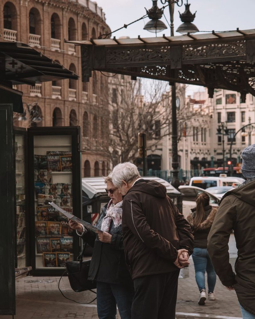
What are the real distances?
This is the table the leaflets leave out. The figures come from our research files, and they are real travel times, not distances as the crow flies.
| From Plaza del Ayuntamiento to | On foot | By public transport |
|---|---|---|
| El Carmen and the cathedral | 5 to 15 minutes | Not needed |
| Ruzafa | 20 minutes on foot or 5 by metro | 5 minutes |
| Benimaclet | 25 to 35 minutes | 12 minutes by metro |
| City of Arts and Sciences | 25 to 35 minutes | 15 to 25 minutes |
| Outer districts, Malilla or Torrefiel | Impractical | 25 to 45 minutes |
The most misleading line is the City of Arts and Sciences. Half an hour's walk is a normal distance for a local and an unpleasant surprise for anyone who booked a room advertised as central.
Why does Valencia have two centres?
Because the city has an administrative centre and a historic centre, and they do not match. The first is Plaza del Ayuntamiento, where the mascletà is fired. The second is the area around the cathedral and El Carmen, a few minutes further north.
The distinction looks minor and is not. Accommodation listings use "centre" without saying which one, and the difference between sleeping next to the mascletà or ten minutes from it completely changes a March morning.
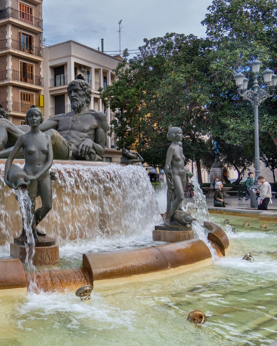
The Turia gardens, the axis that makes sense of the city
Nine kilometres of park sunk between two walls, without a single car, with historic bridges overhead. It is the walking and cycling route that links the west of the city with the sea and with the City of Arts and Sciences.
For a visitor it is more useful than any bus line: go down into the riverbed, walk in a straight line and come up wherever you want. It is also where the city concentrates its drinking water fountains, a detail that matters from May to September.
What the city has, counted one by one
Nobody publishes this count, so we did it ourselves from OpenStreetMap's collaborative census, measured on 12 September 2026 across the whole municipality.
| Facility | Records counted |
|---|---|
| Car parks | 594, of which 51 state their capacity |
| Bus stops | 1,405 |
| Rail stops, metro and tram included | 125 |
| Drinking water fountains | 858 |
| Public toilets | 88 |
| Taxi ranks | 28 |
It should be read for what it is: a collaborative census, not a council inventory. It sets a floor, not a ceiling.
But the proportion tells a clear story: one water fountain for every ten bus stops is a city built for the heat. Where those fountains, toilets and luggage lockers are is covered in luggage storage, toilets and drinking water in Valencia.
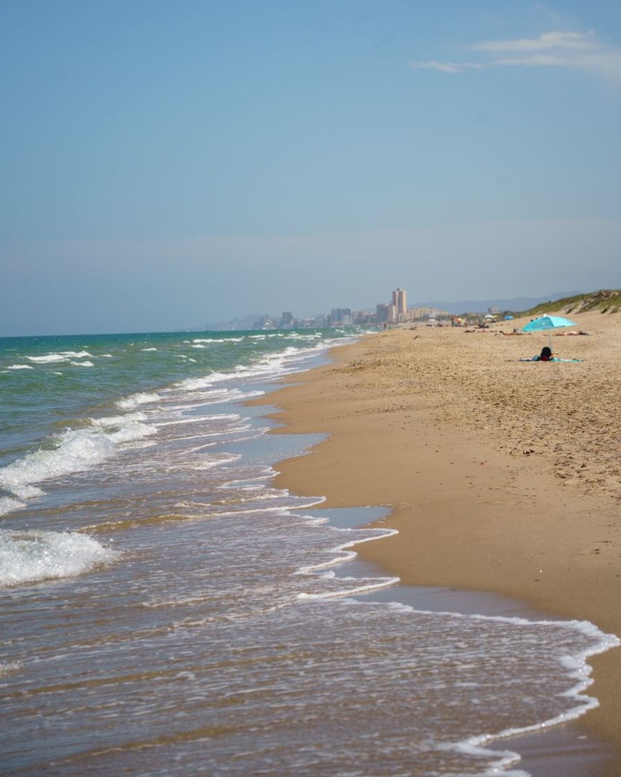
And the beach? Is it far?
The city beaches, Malvarrosa and Cabanyal, lie to the east, beyond the port. By public transport they are twenty to thirty minutes from the centre, and walking along the Turia is a long but pleasant stroll.
It is the second common misunderstanding in accommodation listings: "Valencia by the sea" can mean forty minutes door to door to the cathedral. We go through it neighbourhood by neighbourhood in where to stay in Valencia.
Before you book, put the address on this map. The difference between a place in Ciutat Vella and one advertised as central next to the City of Arts and Sciences is half an hour on foot, every single time.
See places to stay in Valencia by area →Affiliate link: booking through it supports the site at no extra cost to you.And if your dates fall in March, geography counts double: with the centre closed to traffic, sleeping inside the perimeter changes the whole week. You can check availability for the Fallas dates before choosing a neighbourhood.
What this map cannot tell you
- There is no official high resolution map of the area closed during the Fallas. Each media outlet reconstructs it from written descriptions, which is why the descriptions differ.
- The city's open data portal publishes car park datasets, but none with real-time occupancy. We cannot tell you what is full right now.
- No data is published on pavement width or gradient, which leaves the most important question for wheelchair users unanswered.
Sources
Overpass API on OpenStreetMap relation 344953, measured on 12 September 2026. Valencia City Council open data portal, consulted in September 2026. Valencia Secreta and Actualidad Valencia, 2026, for the Fallas closure perimeter. Valencia Trip, 2026, for travel times by neighbourhood. Levante-EMV, 2024, for the geography of prices.
Frequently asked questions
How is Valencia laid out?
How long does it take from Plaza del Ayuntamiento to the City of Arts and Sciences?
Where is the centre of Valencia?
Can you explore Valencia on foot?
Alba Sanchis
Alba worked in the mobility department of a town council in the metropolitan area and read the parking bylaws before they were published. She can tell what a rule says from what it leaves unsaid. She dates every fare she publishes.